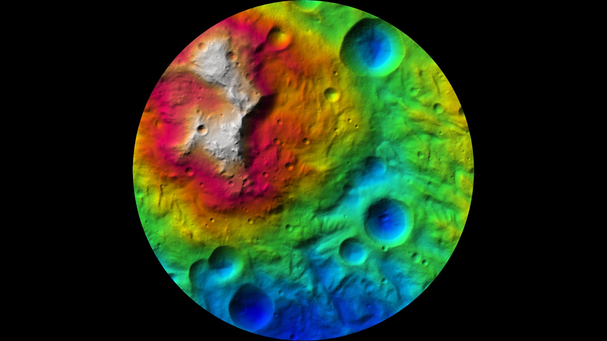
Colour-coded map of Vesta
Colour-coded map of Vesta
The camera on board the Dawn spacecraft imaged the asteroid Vesta from an altitude of 210 kilometres. Planetary researchers at the German Aerospace Center (Deutsches Zentrum für Luft- und Raumfahrt; DLR) processed this data to create maps and elevation models. This map employs colour-coding to depict the high and low points of the south polar region.

