Topographic image map of the Gordii Dorsum range

Topographic image map of the Gordii Dorsum range
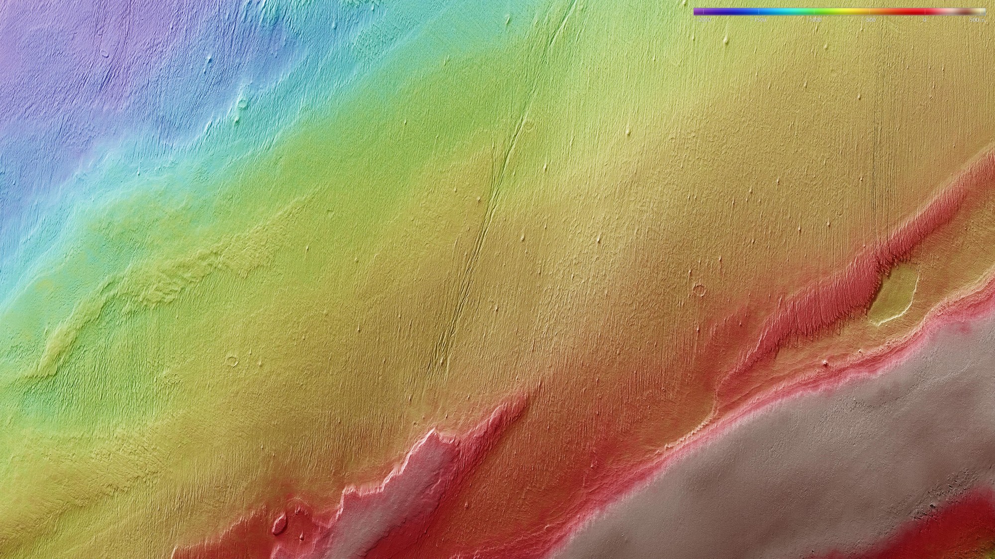
Using the HRSC stereo camera, digital terrain models can be derived that illustrate the topography of the region using false colours. The altitude allocation can be read from a colour scale at upper right; north is to the right in the image. Gordii Dorsum is a range of hills on Mars about 500 kilometres long, lying some 1000 kilometres southwest of the giant volcano Olympus Mons.
Copyright note:
As a joint undertaking by DLR, ESA and FU Berlin, the Mars Express HRSC images are published under a Creative Commons licence since December 2014: ESA/DLR/FU Berlin, CC BY-SA 3.0 IGO. This licence will also apply to all HRSC images released to date.