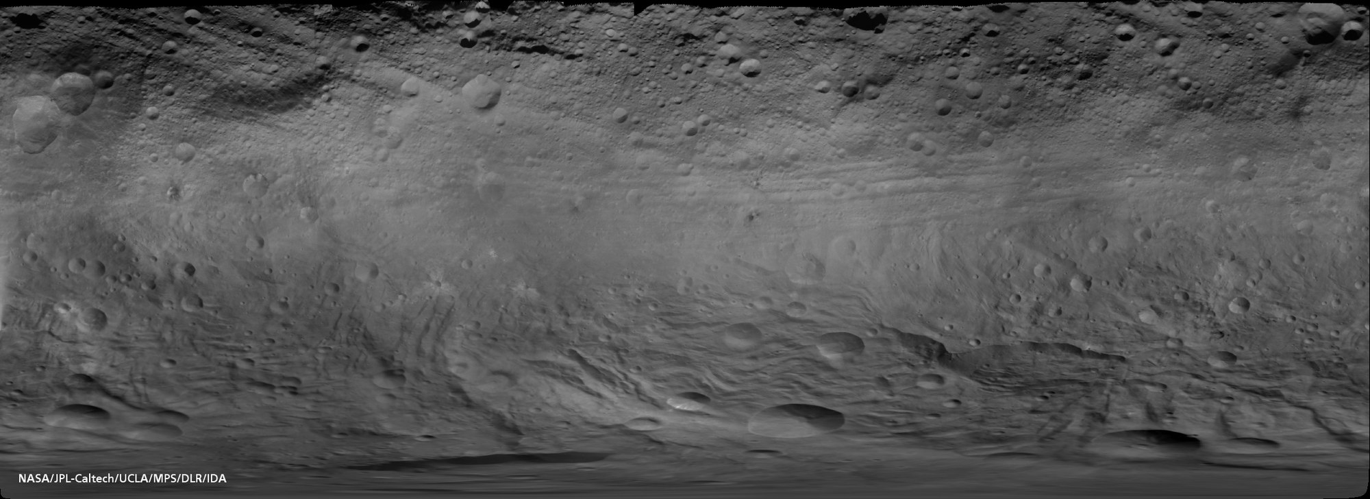
Global photo mosaic of Vesta
Global photo mosaic of Vesta
The first global map of the asteroid Vesta generated from images acquired with the Framing Camera. In July and August 2011, Dawn orbited the third largest object in the asteroid belt initially in a 'mapping orbit' at an altitude of about 2400 kilometres above its surface. In doing so, the camera acquired hundreds of images with a spatial resolution of about 250 metres per pixel. What is referred to as ‘simple cylindrical projection’ was selected for the representation of this global map. In this map projection the south pole is not a point but is extended as a line the length of the equator. Thus, the south pole covers the entire lower edge of the image and all characteristics of this region are represented in distortion. The spatial resolution of the photo is 750 metres per pixel.

