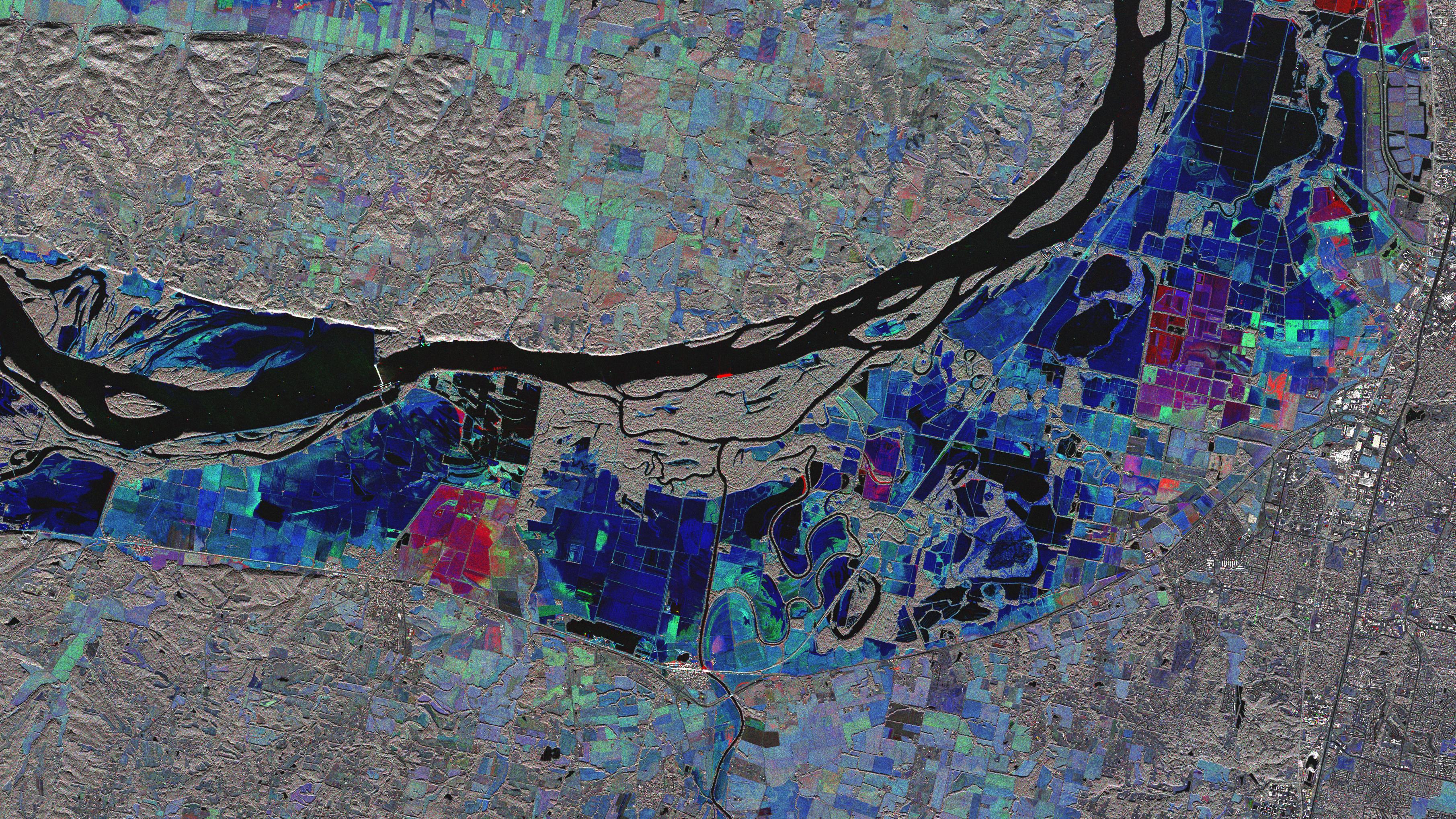
TerraSAR-X map of flooding near St. Louis, USA, in July 2008
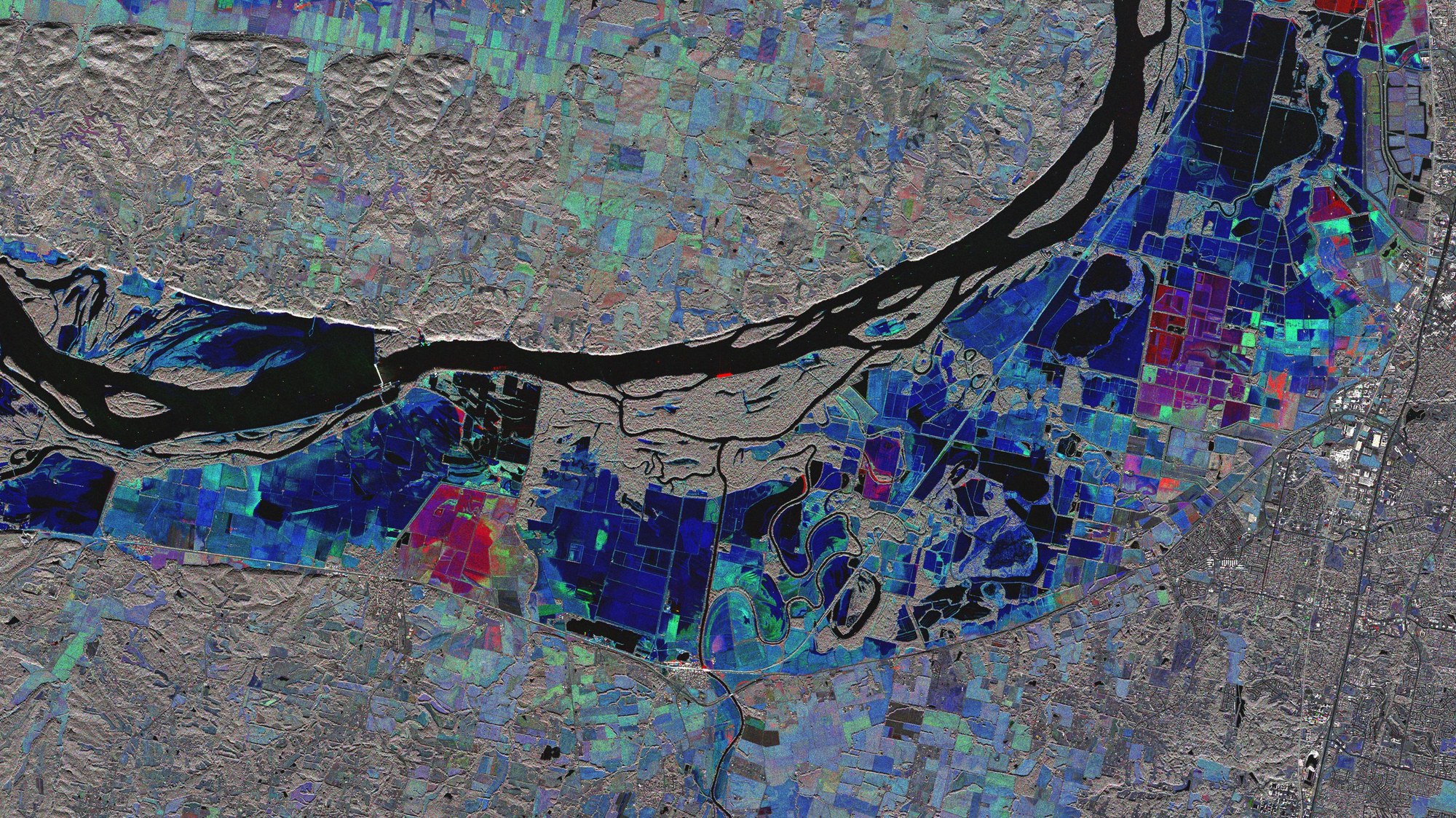

TerraSAR-X map of flooding near St. Louis, USA, in July 2008
TerraSAR-X map of flooding near St. Louis, USA, in July 2008. After earthquakes and volcanic eruptions, hurricanes are among the worst natural disasters in the Pacific region. People are threatened not only by high winds but also, and much more severely, by massive rainfall and the floods and landslides they cause. TerraSAR-X and TanDEM-X will provide important data for crisis management in the event of a catastrophe.