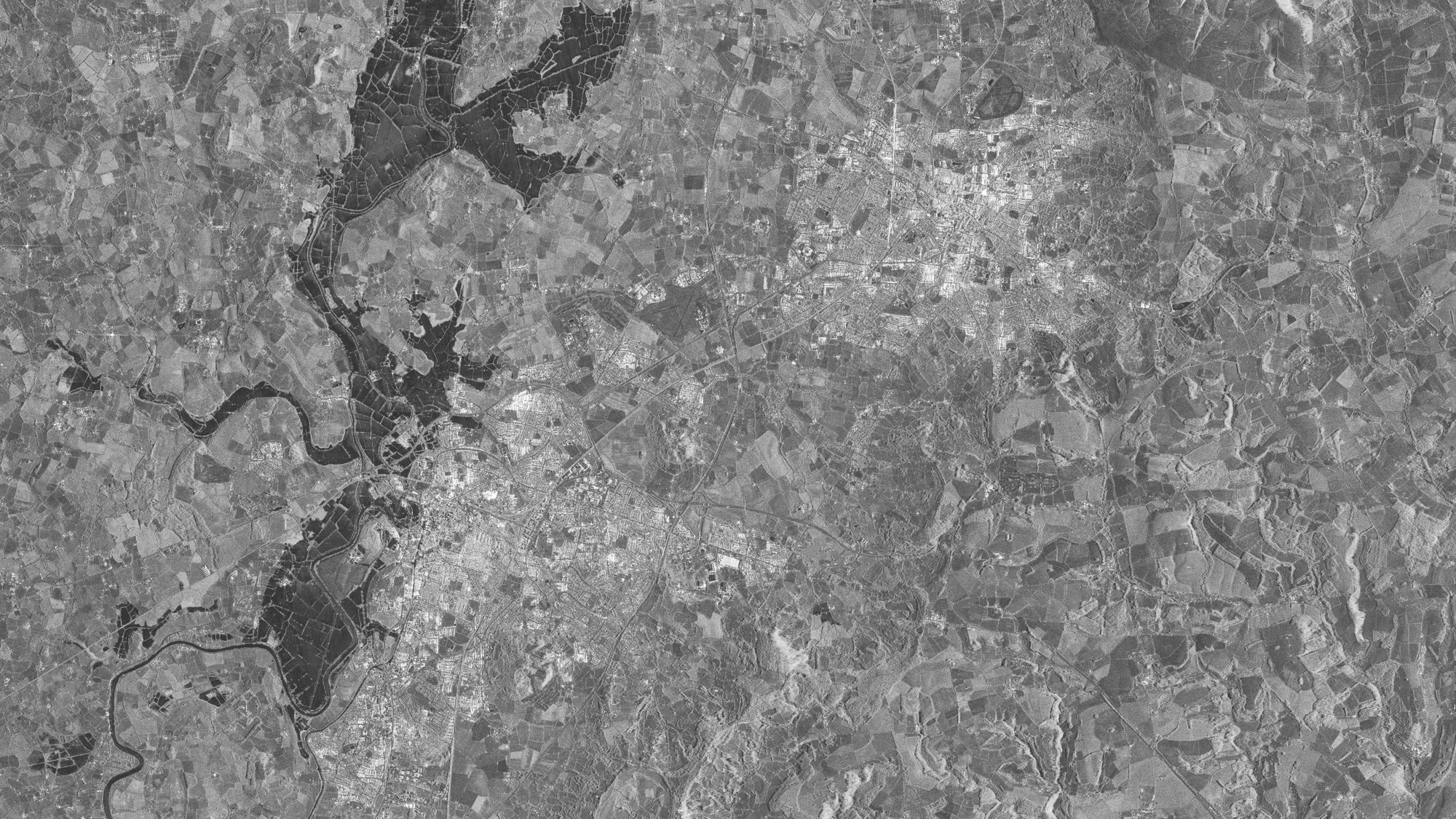
England - TerraSAR-X shows flooding
England - TerraSAR-X shows flooding
One of the applications of TerraSAR-X is mapping areas inundated by floods. Taken on 25 July 2007, the photo shows the towns of Gloucester (bottom) and Cheltenham (centre right) during the flood. Appearing quite dark, the areas flooded by the river Severn can be seen very clearly along the left side of the entire image. Even at this early point in time, the DLR Centre for Satellite-assisted Crisis Information (ZKI) at the German Remote Sensing Data Centre (DFD) in Oberpfaffenhofen used data transmitted by the TerraSAR-X satellite during the flood to develop maps to support relief forces on the spot.

