New radar satellites - technology nominated for German Future Prize
Employees of the Microwave and Radar Institute have been nominated for the German Future Prize with their project "Radar eyes in space - revolutionary technology for the earth and the environment". The Federal President's Prize for Technology and Innovation is awarded annually - to researchers and developers whose inventions lead to application-oriented and therefore marketable products. The prestigious award is presented by Federal President Joachim Gauck at the end of November in Berlin.

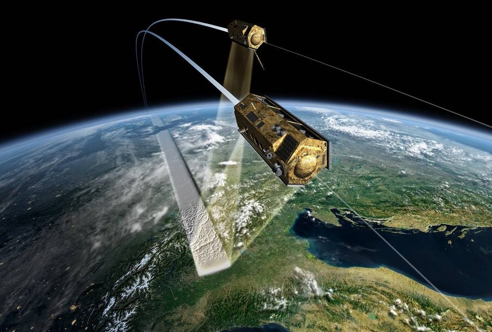
Our innovations open up new dimensions for remote sensing from space: radar satellites in formation flight enable three-dimensional imaging of the earth, and a digital radar antenna paves the way for the fourth dimension, time: in future, dynamic processes on the earth's surface can be recorded globally and in real time.
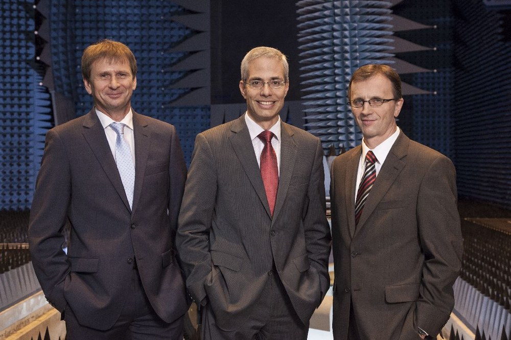
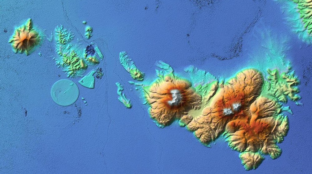
The team from Oberpfaffenhofen with Prof. Alberto Moreira, Dr. Gerhard Krieger (Head of Department for Radar Concepts) and Dr. Manfred Zink (Head of Department for Satellite SAR Systems) has demonstrated innovative spirit, expertise and courage by proposing, designing and leading the implementation of a satellite mission at DLR that is already setting standards for tomorrow: TanDEM-X. It uses two cooperating radar satellites that have been flying in formation as a "pair of eyes" since 2010 to remeasure the Earth - in 3D and with an altitude accuracy of two meters. From mid-2014, a unique three-dimensional map of the entire Earth's surface will be available, improving the accuracy of the existing data set by a factor of 30. TanDEM-X is being realized and jointly financed in a public-private partnership (PPP) between DLR and Astrium GmbH.

Radar technology for the earth and the environment
Radar sensors have unique properties: they can record images with very high resolution over a wide area at any time, regardless of cloud cover and the time of day or night. The technology is therefore also extremely useful for climate and environmental research, especially for long-term observations. The "radar eyes in space" show, for example, the melting of glaciers due to climate change, enable the precise determination of soil moisture and forest biomass or determine the speed of ocean currents. They are also used to monitor oil spills in the sea and help to detect illegal fishing. In humanitarian crises, the radar satellites provide the emergency services with up-to-date information on the situation in the affected region. The potential applications of the radar data obtained are almost unlimited - the demand for up-to-date geoinformation is increasing enormously worldwide. In addition to the diverse applications in climate research and environmental monitoring, geodata forms the basis for numerous new economic sectors and promises to generate billions in revenue in the future.

The Earth in 4-D
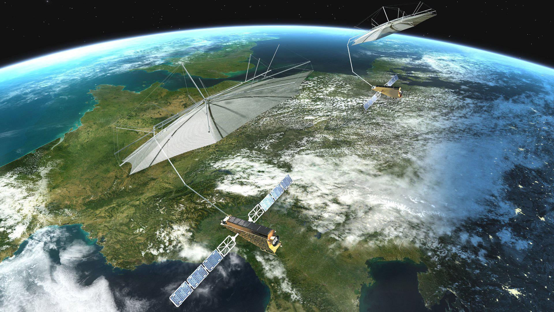
The current TanDEM-X satellite mission has been an overwhelming success. However, the achievement honored with the nomination goes even further. Prof. Moreira and his team colleagues have developed a new imaging technology for the advance into the next generation of radar technology: the digital radar antenna. The team has already developed a concrete proposal for the successor to TanDEM-X: the Tandem-L radar satellite mission will in future measure the entire surface of the Earth twice a week in order to provide urgently needed information for climate and environmental protection in unprecedented quality and resolution.

