A new era for Copernicus: the Sentinel-2C satellite launches


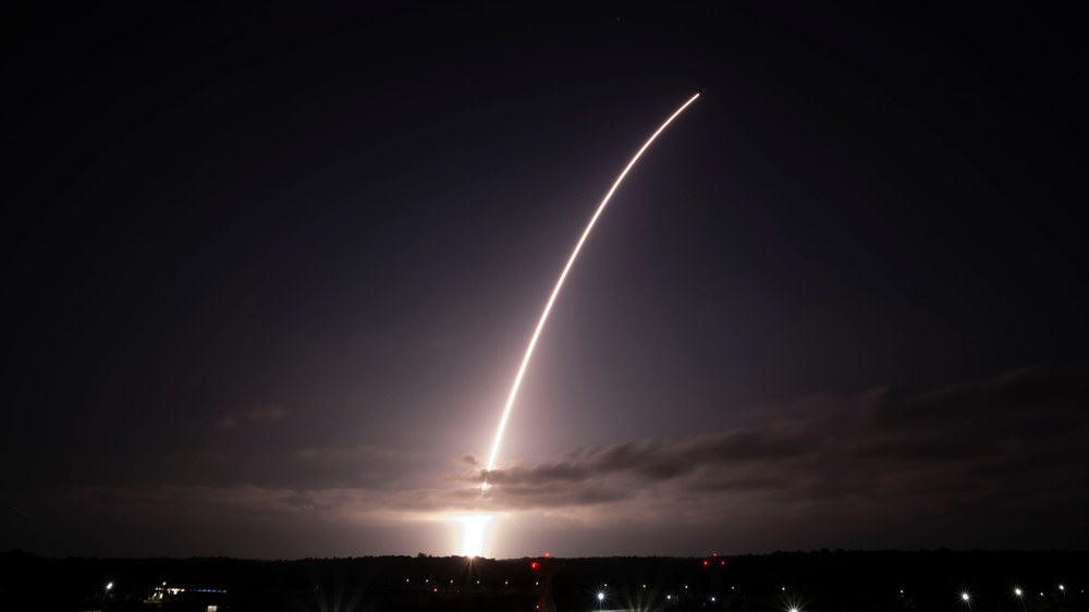
- On 5 September 2024 at 03:50 CEST (22:50 local time), the new Copernicus Sentinel-2C satellite was launched from Kourou, French Guiana.
- Sentinel-2C is the third of four Sentinel-2 satellites and will replace Sentinel-2A, which is now almost ten years old.
- Its high precision onboard instrument is ideal for closely monitoring environmental changes.
- The German Space Agency at DLR is supporting the programme on behalf of the Federal Ministry for Digital and Transport.
- Focus: Space exploration, Earth observation, climate change
On 5 September 2024 at 03:50 CEST (22:50 local time), the new Sentinel-2C satellite was successfully launched from Kourou, French Guiana, aboard the last Vega rocket in its original configuration.
The Sentinel-2 mission consists of two identical satellites in the same Earth orbit. They complete one full orbit every 100 minutes, capturing all land surfaces as well as inland and coastal waters every five days. Sentinel-2C now replaces Sentinel-2A, which has been in space since 2015, making the satellite a crucial component in the long-term data provision for numerous applications.
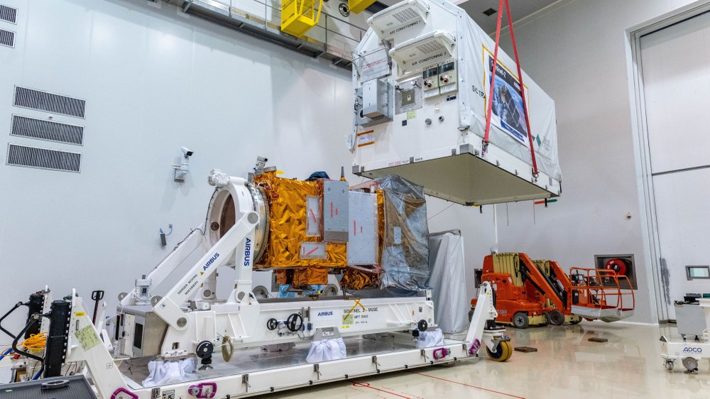
In Germany, the Federal Ministry for Digital and Transport (BMDV) is the principal authority responsible for Copernicus. The German Space Agency at DLR (Deutsches Zentrum für Luft- und Raumfahrt) supports the European Earth observation programme on behalf of the BMDV at the European level and promotes its utilisation in Germany through specific measures. The Sentinel-2C satellite was built by Airbus in Germany.
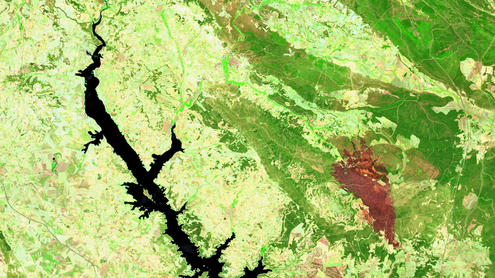
Sentinel-2C is equipped with an optical multispectral instrument offering a high resolution of up to 10 metres and scanning a swath 290 kilometres wide. This makes the satellite ideally suited for detecting changes in vegetation, enabling crop forecasting, mapping forests and determining the growth of wild and cultivated plants. The instrument is also used to monitor algae growth in coastal and inland waters, as well as track sediment input in river deltas.
Researching climate change, improving disaster protection
The data collected by Copernicus is crucial for researching and monitoring climate change, as well as supporting key areas such as disaster management and security policy. The data also serves as a foundation for significant international agreements on environmental and climate protection, for example as part of the United Nations (UN) Climate Change Conferences and Sustainable Development Goals.
Volker Wissing, Germany's Federal Minister for Digital and Transport emphasises the programme's range of applications: "With the launch of Sentinel-2C, Germany is demonstrating its leading role in global Earth observation. Its innovative instrument will play a crucial role in understanding climate change, combating it and dealing with its consequences. Our commitment to the Copernicus programme is an investment in cutting-edge technology and a sustainable future, as the satellite's precise data will support decision-makers worldwide in environmental policy measures."
Walther Pelzer, DLR Executive Board Member and Director General of the German Space Agency at DLR, adds, "Copernicus is the largest and most successful Earth observation programme in Europe today, demonstrating the efficient cooperation between the European Union, European Space Agency (ESA) and national space agencies. With Sentinel-2C, we are securing its future and at the same time strengthening Germany's lasting position in the space sector."
Copernicus – an EU and ESA partnership
Copernicus is a collaborative initiative between the European Union (EU) and the European Space Agency (ESA). Through Copernicus, the EU operates satellite-based information services for land (CLMS), oceans (CMEMS), atmosphere (CAMS), disaster and crisis management (CEMS), climate change (C3S) and civil security (CSS). An increasing number of German government agencies, researchers and innovative companies are also working with Copernicus data. The foundation of these applications and services lies in six satellite constellations, known as the Sentinels – meaning 'guardians' – operated by ESA in collaboration with the European Organisation for the Exploitation of Meteorological Satellites (EUMETSAT). In addition, a further six missions are currently being prepared, which will gradually expand the Copernicus fleet over the coming years. Among these is the Copernicus Anthropogenic Carbon Dioxide Monitoring Mission (CO2M), set to measure global greenhouse gas emissions from 2026 onwards. Copernicus also integrates satellite data from third parties, including from the German satellites TerraSAR-X and TanDEM-X. Data portals such as the Copernicus Data and Exploitation Platform – DE (CODE-DE for short) ensure users have easy access to Earth observation data and processing tools.
