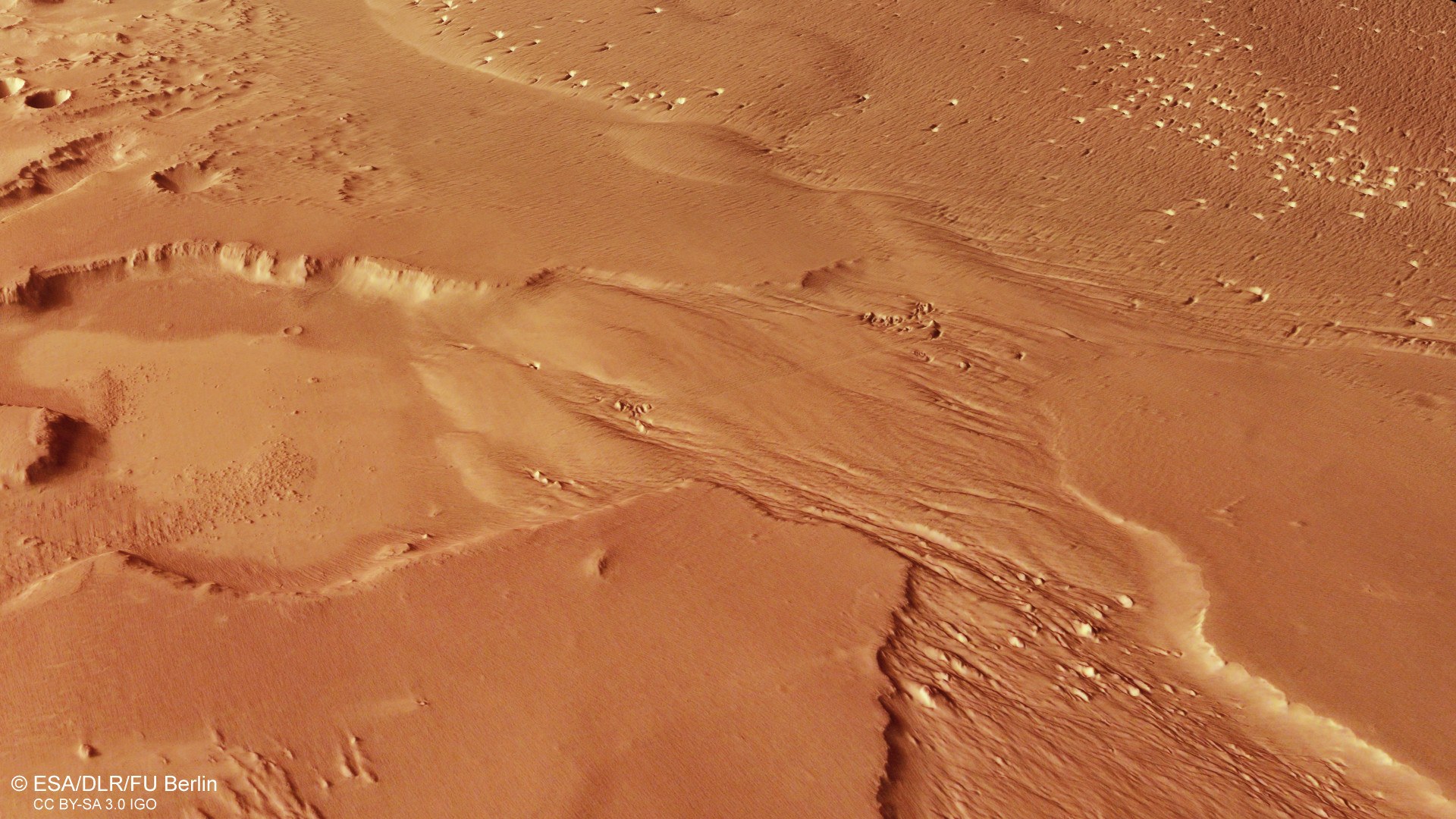
Oblique perspective view of a landscape near Eumenides Dorsum
Oblique perspective view of a landscape near Eumenides Dorsum
Digital terrain models generated using data acquired by the stereo image channels of the HRSC camera system on ESA's Mars Express orbiter can be used to create perspective views of the Martian landscape. This image shows a view of a landscape near the Eumenides Dorsum mountain range, part of the Medusae Fossae Formation. Here, the wind has acted on an easily erodible surface for a long time. This has created 'yardangs' and wind gullies – ridges and troughs 'carved out' by the wind – as well as 'blowouts' – depressions with an accumulation of sand in the shape of a crescent – which allow conclusions to be drawn about the prevailing wind direction.

