Comparison – deforestation in the Amazons
Comparison – deforestation in the Amazons
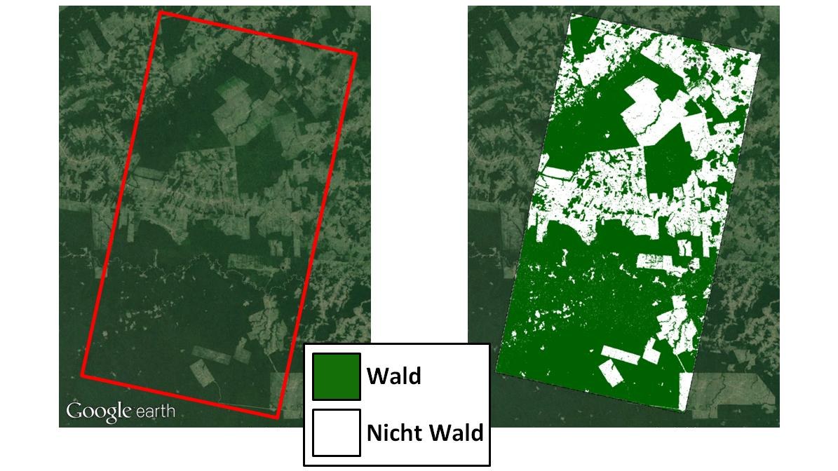
Comparison between a Google Earth image and the TanDEM-X forest map for an area in the Amazon rainforest affected by deforestation. For the first time, the TanDEM-X data provide a precise insight and overview of deforestation in the most remote regions, so that illegal activities in particular can be detected.

