The Mars map series of 30 quadrangles

The Mars map series of 30 quadrangles
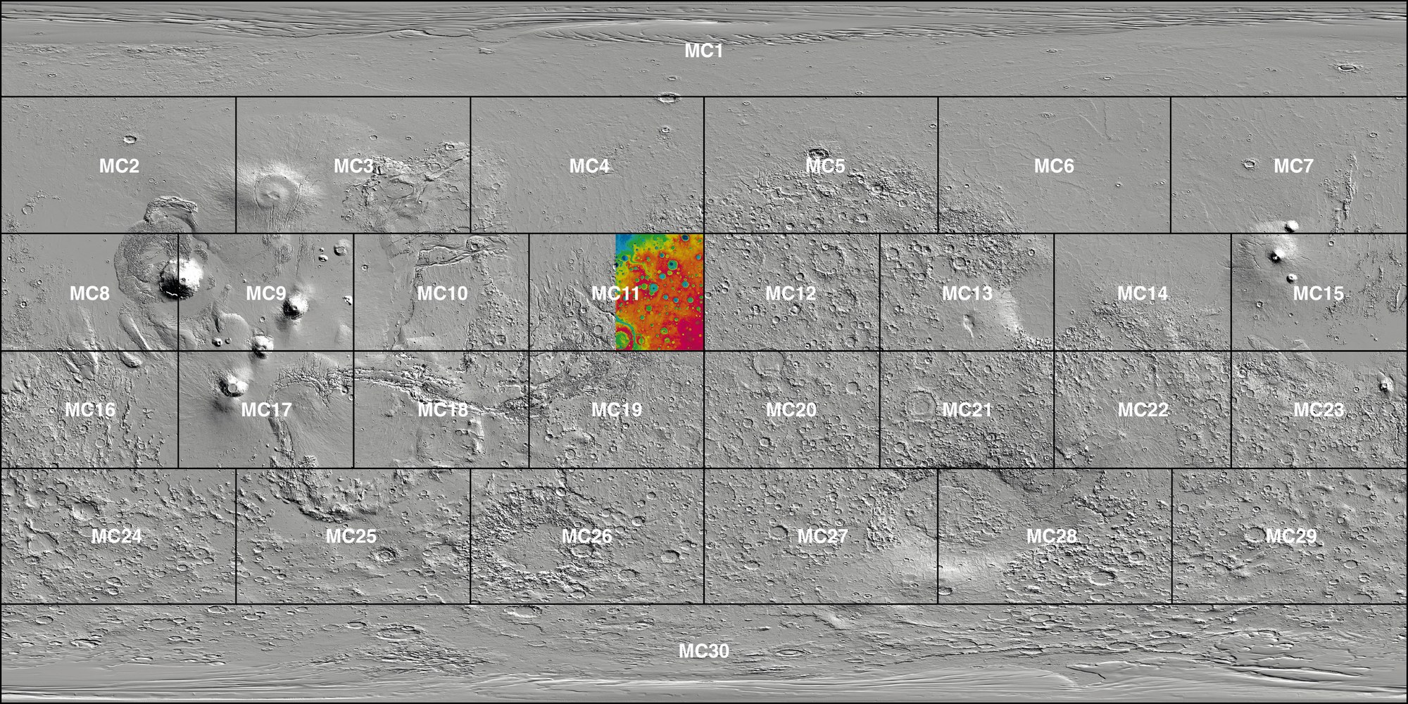
Mars’s diameter is about half of Earth’s; thus, it has a much smaller overall surface area. However, since it has no oceans, its landmass of 145 million square kilometres is roughly the size of the area of all continents of the Earth combined (149 million square kilometres). As on Earth, the mapping of Mars follows a firmly established geometric scheme, such as in the form of 30 longitudinally arranged map sheets specified by the US Geological Survey ‘Mars Chart’ (MC). The scenes presented here come from the eastern half of map sheet MC-11 ‘Oxia Palus’ in the central highlands of Mars. The aim of the HRSC experiment on Mars Express is to derive digital terrain models for the thousands of image strips in resolutions between 10 and 50 metres per pixel for every one of the 30 MC map sheets image mosaics.