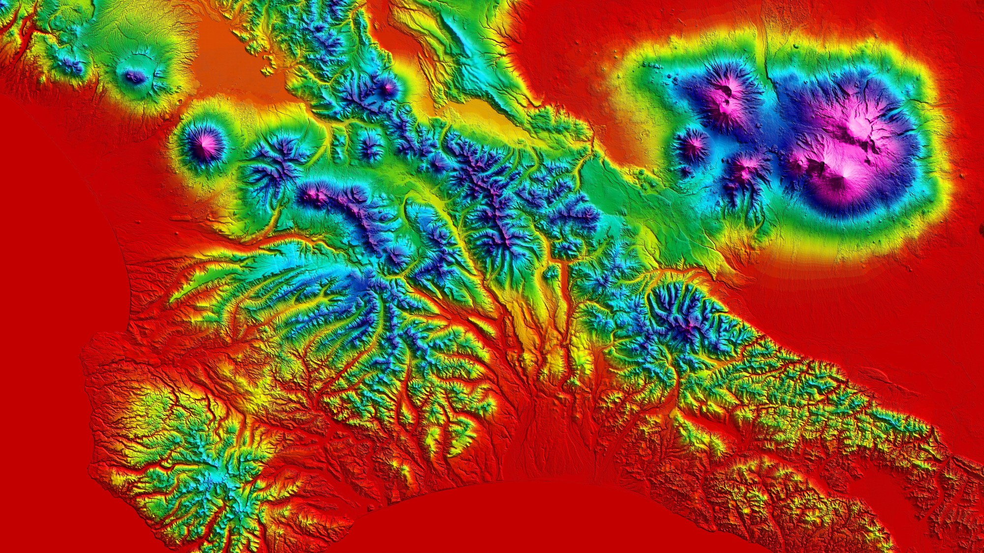
TanDEM-X elevation model of the Kamchatka Peninsula
TanDEM-X elevation model of the Kamchatka Peninsula
A digital elevation model from the TanDEM-X mission showing an area on the Kamchatka Peninsula in the northeast of Russia. Wide expanses of the Pacific plate press against the Eurasian plate, causing unique volcanic activity with an very high density of volcanoes. Of the over 160 volcanoes, 29 are currently active and six of them erupt on average each year. Kamchatka is known as the ‘Land of Ice and Fire’ due to its combination of snow and ice and its high level of volcanic activity. Its highest peak is the 4835-metre Kliuchevskoi. The simultaneous eruption of four volcanoes (Shiveluch, Bezymianny, Tolbachik and Kizimen) in January 2013 catapulted the region into the headlines. UNESCO declared the volcanic region of Kamchatka a Natural World Heritage Site in 1996.

