Topographical overview map of the western edge of Acidalia Planitia


Topographical overview map of the western edge of Acidalia Planitia
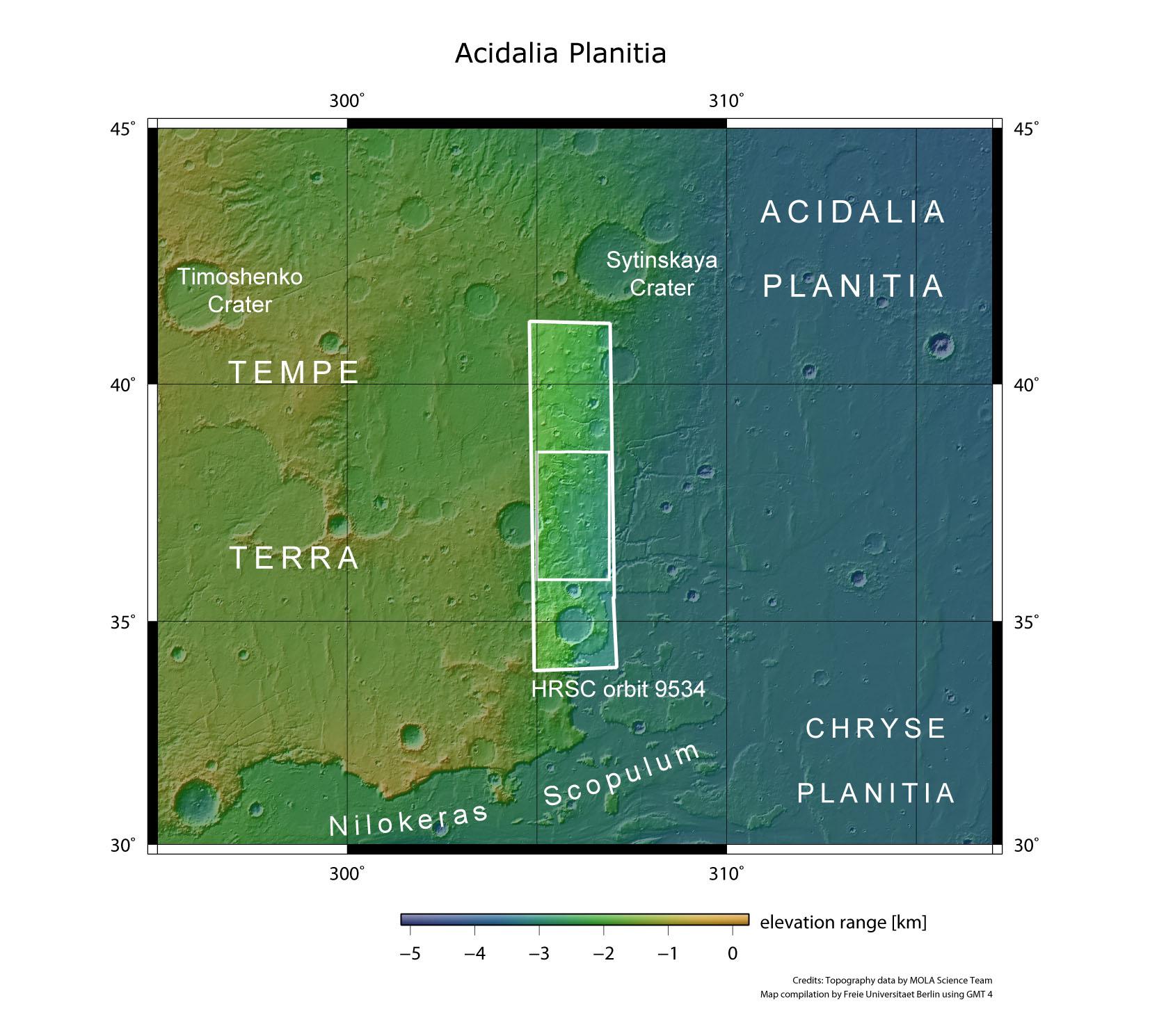
The Acidalia Planitia region is part of the northern lowlands of Mars, and is located to the northeast of the Tharsis volcanic province. To the west, it is bordered by the Tempe Terra highland region.
The HRSC stereo camera on board ESA's Mars Express spacecraft acquired images of the transition zone between Tempe Terra and Acidalia Planitia on 21 June 2011 during orbit 9534, from an altitude of around 260 kilometres (larger framed rectangle). The images reproduced here are located in the smaller, inner rectangle. Numerous structures in this region indicate the activity of water in the early history of Mars.