Topographical overview map of Tempe Terra

Topographical overview map of Tempe Terra
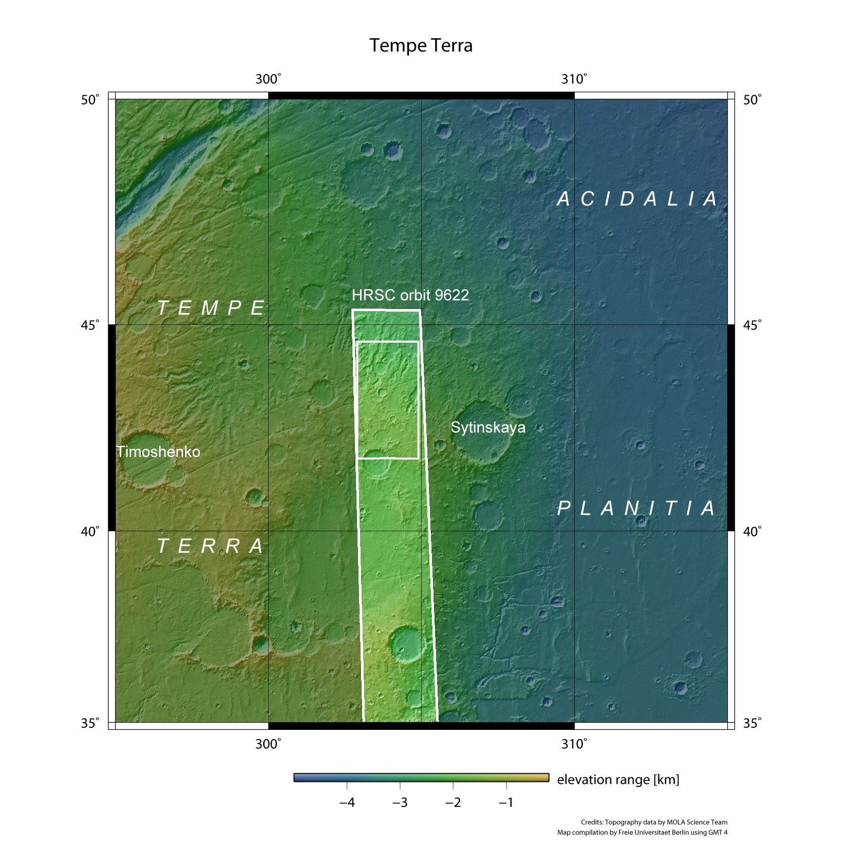
Tempe Terra is located at the northeastern edge of the Tharsis volcanic region and forms the transition zone between the southern highlands and the northern lowlands. This area is characterised by a large variety of tectonic structures and is one of the most geologically diverse on Mars. The High Resolution Stereo Camera (HRSC) on board ESA's Mars Express spacecraft acquired an image strip of the northwest of Tempe Terra on 17 July 2011 during orbit 9622. The terrain shown in the images presented here is located in the small rectangular area near the north (top) of the image strip.