A multi-temporal image of the surroundings of the DLR Oberpfaffenhofen facility

A multi-temporal image of the surroundings of the DLR Oberpfaffenhofen facility
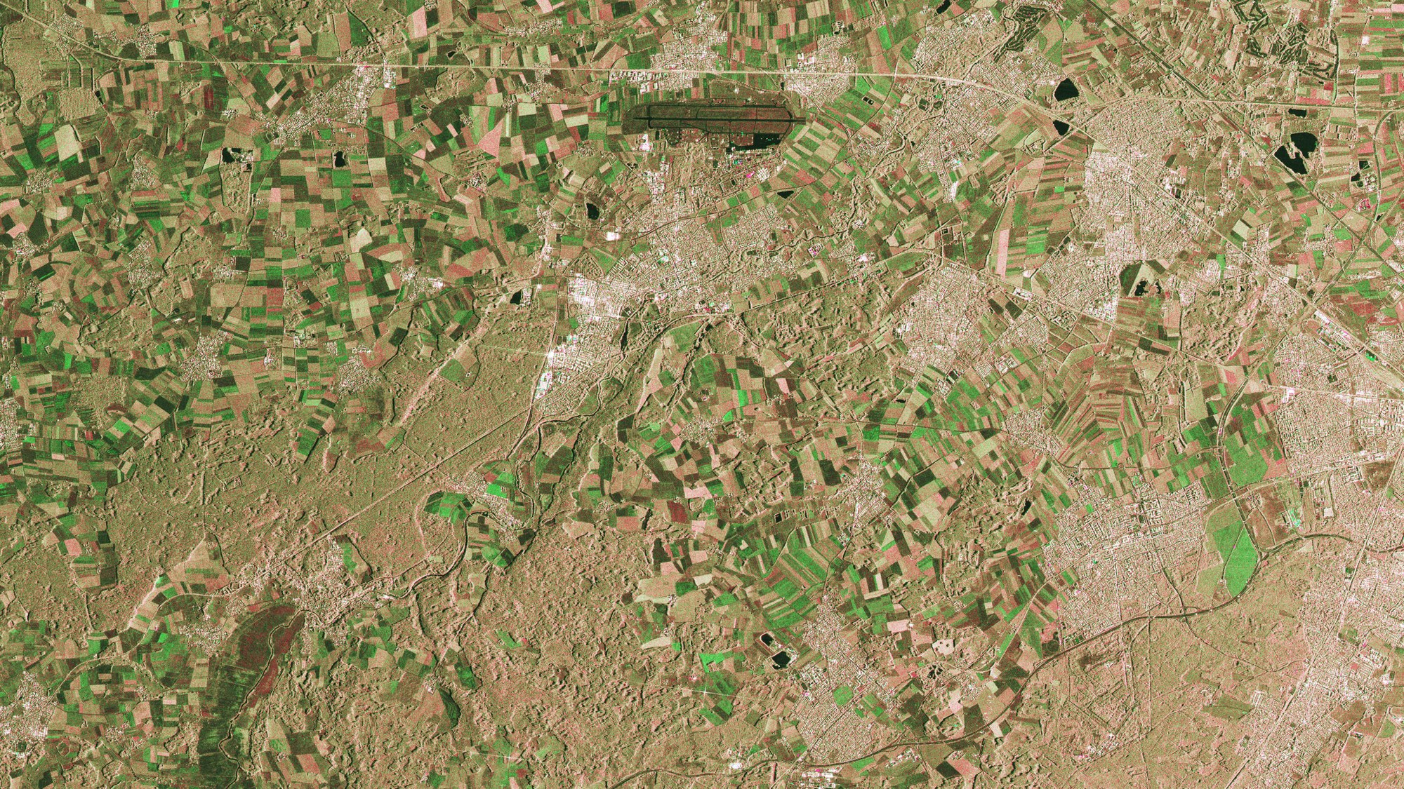
This is a combination of two TerraSAR-X StripMap images of an area to the northwest of Munich measuring 30 by 20 kilometres, taken on 26 June and 7 July 2007. You can see Fürstenfeldbruck airport at the top centre and the Ampermoos north of Lake Ammersee in the lower left-hand corner. Taken at an interval of 11 days, the radar images show the area in exactly the same geometry - from the same angle of view. The colours indicate the intensity of radar backscatter at the time the two photographs were taken (red: first image, green: second image, blue: sum of both images). Intensity mainly depends on the roughness and humidity of the reflecting surfaces. A typical example is the very dark appearance of the relatively smooth runways at the airport. Such images are highly effective in tracking land surface changes caused, for instance, by harvesting grain fields.