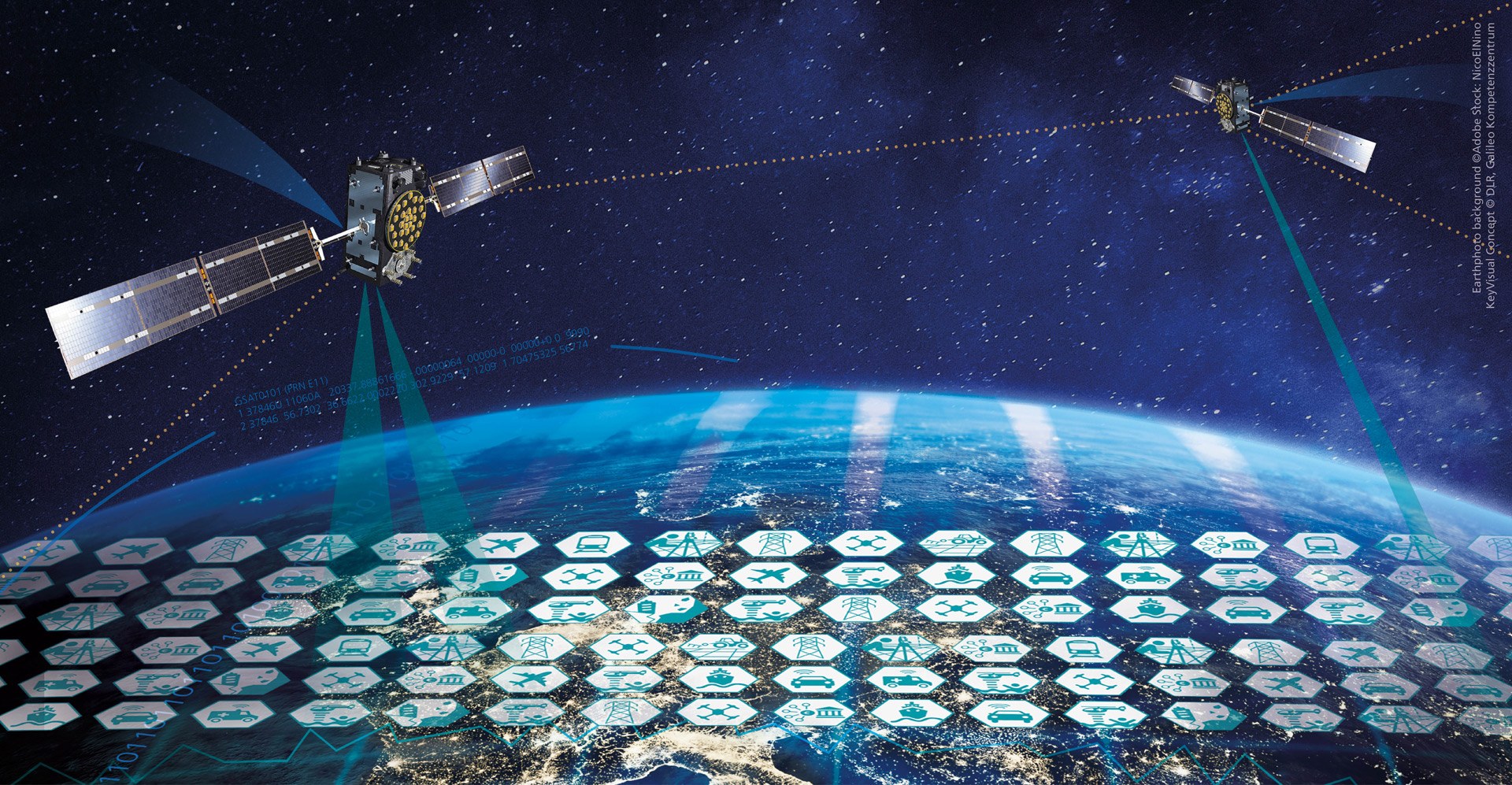
In our networked world, satellite navigation is an indispensable tool in our everyday lives. This ranges from finding the nearest café to the use of fertilisers in agriculture. Several countries have their own global satellite navigation system, a so-called GNSS - Global Navigation Satellite System. DLR scientists are investigating which factors influence the performance of such systems. To this end, they have developed methods that can be used to observe the performance of the four GNSS systems available worldwide - Galileo (EU), GPS (USA), GLONASS (Russia) and BeiDou (China). Analyses and results are available on the web for all interested parties.
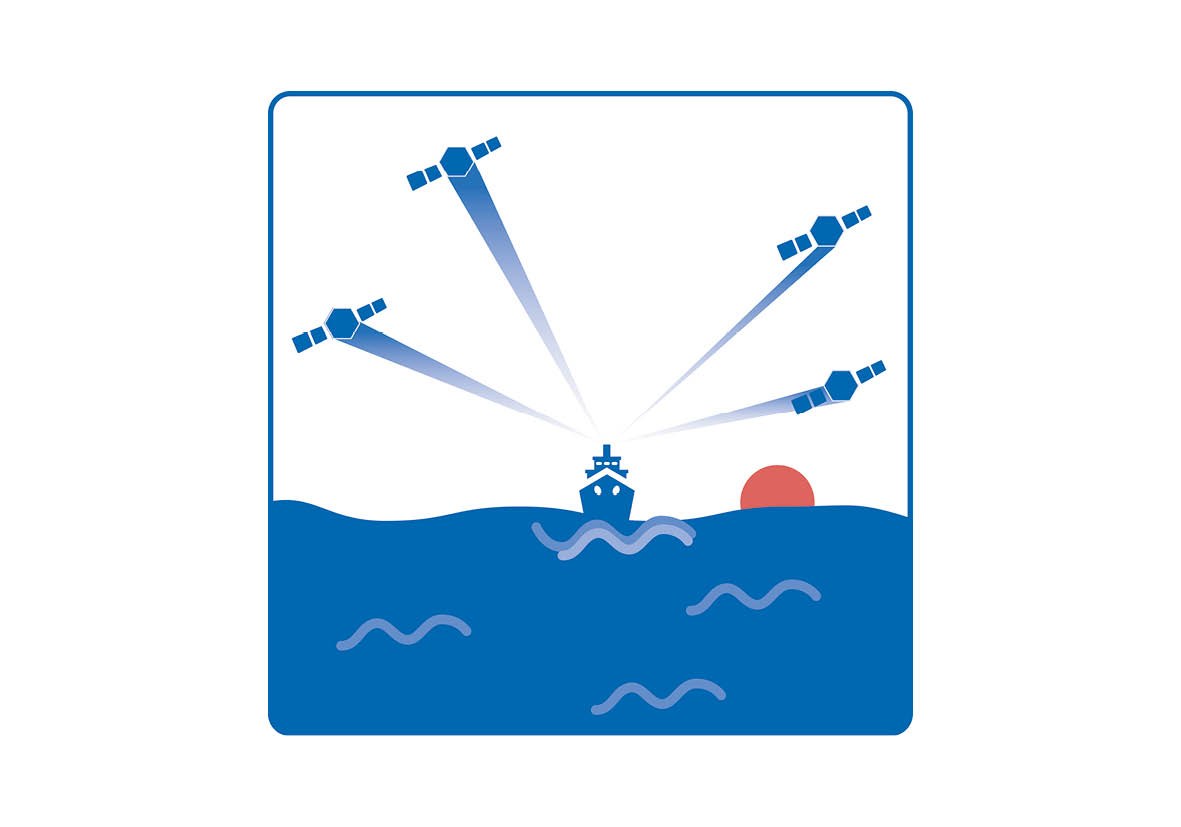
Every GNSS utilises a network of satellites that orbit the earth on fixed paths. They continuously send out signals with information about their position and the current time. GNSS receivers, for example in professional geodetic measuring instruments, smartphones or sat navs in cars, collect the data from the satellites with a free signal path. They calculate their own position, speed and time from this information and from the time of flight of the signals. In order to determine its own position on the earth, a receiver requires data from at least four satellites - the more satellites there are, the more stable and accurate the positioning becomes.
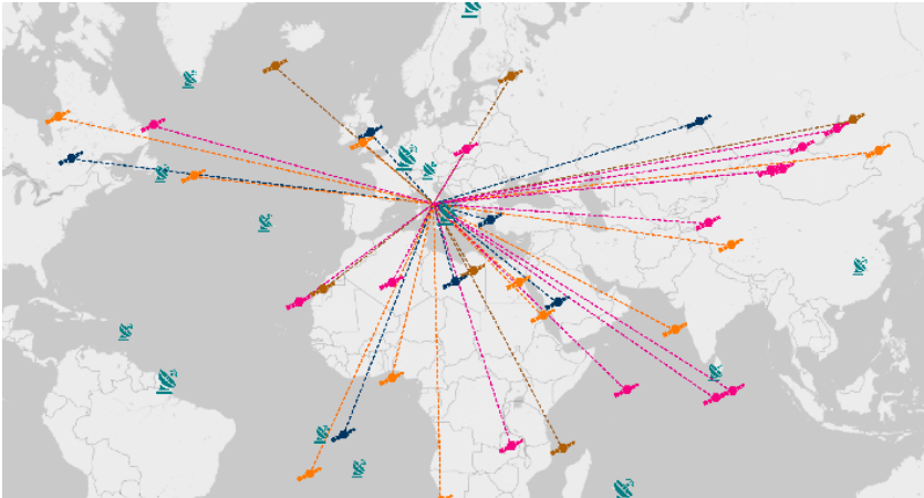
Satellite positions GNSS Monitoring
On the website www.gnss-monitoring.dlr.de, you can see that the more evenly the satellites are distributed, the better the positioning at the selected station. The colours stand for the four GNSS systems, blue for Galileo, orange for GPS, brown for GLONASS and pink for BaiDou.
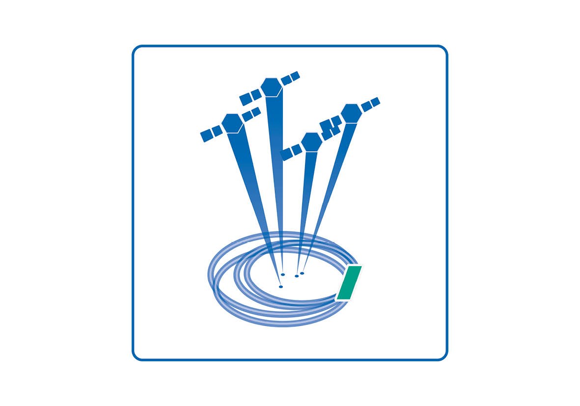
Each GNSS uses its own satellite constellation, utilises different frequencies and uses different algorithms for signal processing. As a result, GPS, GLONASS, Galileo and BeiDou differ in accuracy, coverage and robustness. This can have a significant impact on end users in different regions and under different environmental conditions. The signals chosen by multi-GNSS receivers depend on location and many other parameters that affect the performance of GNSS signals. For example, the number of satellites visible to a receiver and their geometric arrangement in the sky have an immense influence on positioning accuracy. These factors are indicated by the DOP (Dilution of Precision). For the DOP, it is important how well the satellites of the respective GNSS are distributed over the orbit and in what geometric relationship to the receiver they are located. There are better and worse constellations here. The signal can also be inhibited on earth: For example, reception suffers in deep urban canyons if buildings block the signals or the signals are reflected by surfaces. The earth's atmosphere can also cause considerable signal delays and distortions. Free electrons in the ionosphere can deflect the signals from GNSS satellites and thus delay them as they pass through this layer on their way to a receiver on the ground.
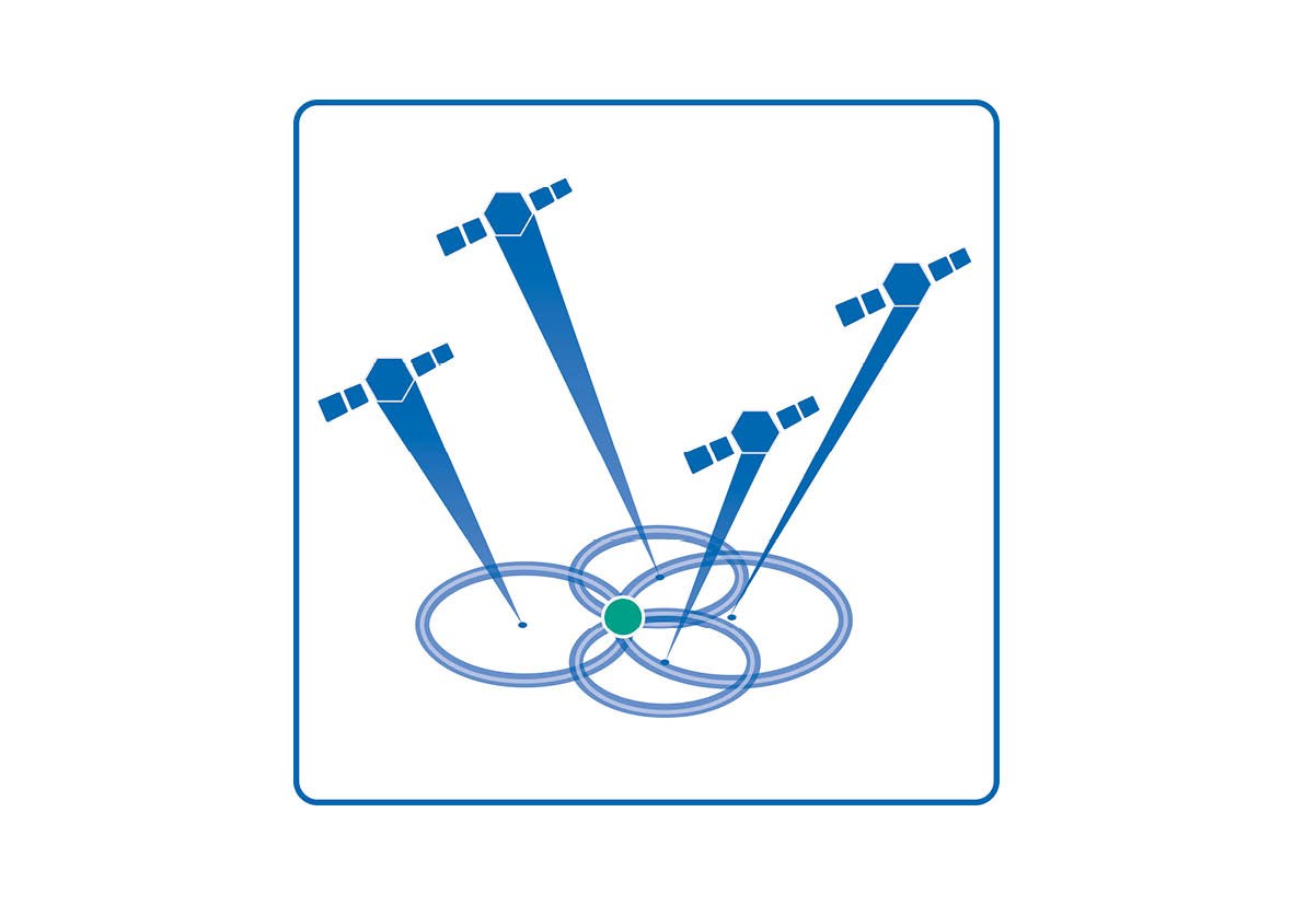
High accuracy GNSS monitoring
The satellites are widely distributed across the sky. This constellation has a lower DOP value and a lower positioning error (green dot).
The quality of the atomic clocks of the individual satellites also plays a very important role: as position determination is based on the time difference between sending and receiving the signals, this is of central importance. The slightest inaccuracy leads to a considerable error in the calculated position: a clock error of one millisecond, for example, results in a difference of three hundred kilometres.
A website provides an overview ... and even more
Experts from DLR's Galileo Competence Center developed and operate the GNSS performance monitoring website in cooperation with colleagues from the DLR Institutes of Software Technology, Communications and Navigation and Solar-Terrestrial Physics and the Space Operations and Astronaut Training Facility. Among other things, it serves to analyse, visualise and evaluate the above-mentioned factors. It is aimed at people from the fields of research and industry, as well as interested parties from society and politics.
The observation and navigation data received here is archived in a long-term database. The experts can use the data to make statements about the signal and service quality of all global navigation systems. They also create short and long-term analyses, identify trends and draw comparisons. This enables users to assess the accuracy, availability and reliability of their position in different regions, at different times and with different navigation systems.
Although the performance of each global navigation system is regularly published by the operators, a direct comparison is hardly possible because the parameters are calculated differently. The DLR platform uses a consistent data basis as well as the same calculation methods and indicators. This allows parallels to be drawn between the systems. Another aim of the website is to use the analysed data to contribute to the further development of GNSS systems. The public data sources and the transparency of the methods are also intended to stimulate further research and motivate dialogue. And last but not least, they should invite users to deepen their own knowledge of satellite navigation in a fun way.
It was founded in Oberpfaffenhofen in 2019 and supports Europe in providing the best possible navigation technologies for citizens. It works on this together with the scientific institutes and facilities of DLR and other research organisations and industrial companies. The realisation of new technologies and concepts for possible later use or marketing by industry is one of its central concerns. With its expertise, it is available as a point of contact for politics, research, industry, the European Commission and business.