RapidEye
Launch: 29. August 2008
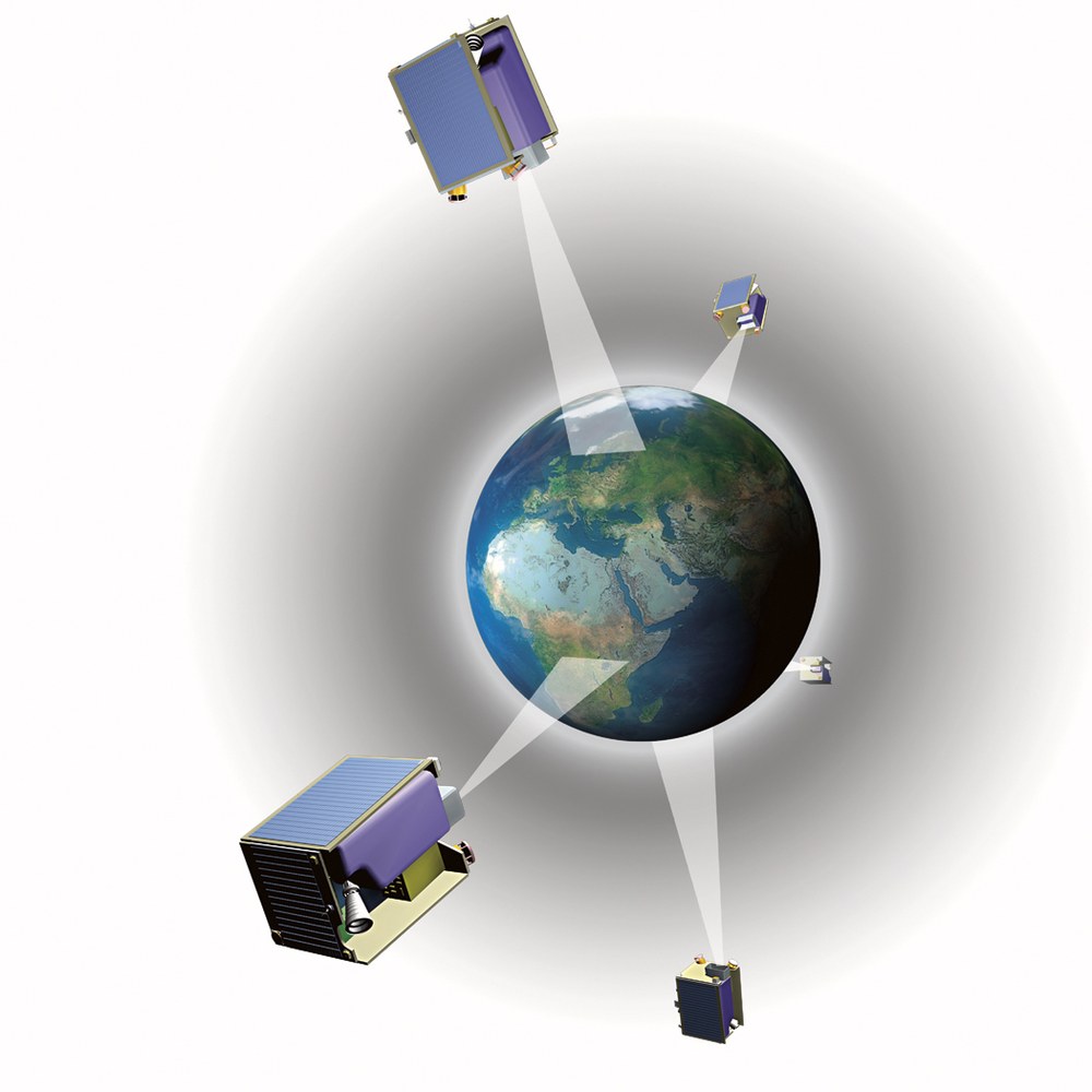
If, for example, a particular area cannot be imaged because of clouds, RapidEye may, unlike other systems, repeat the attempt within no more than 24 hours. The system observes the earth in five different spectral channels from an altitude of around 630 kilometers. Its swath width of c. 80 kilometers and its capacity to scan scene lengths of up to 1,500 kilometers on each orbit enable it to cover large areas very quickly.
The RapidEye satellite project marks the transition to a new level of quality in earth observation data services. The daily availability of extremely sharp high-resolution images from space opens up completely new commercial opportunities. Customers from agriculture and the insurance or food industries as well as organizations working in disaster relief will find RapidEye data products highly useful.
Among other things, they include theme maps tailored to the requests of customers who may wish to use them to assess damage caused by hurricanes in managed forests, or to plan their harvests. In addition, the satellites' data may be used to assist governments in the performance of their duties with maps, digital elevation models or legally regulated monitoring.
This is the first occasion on which a private German company has invested large sums in a space project. In this, it is supported by DLR with funds from the Ministry of Economics and the Brandenburg state government. The total sum invested in the project amounts to around 160 million euros, of which about ten percent is furnished by DLR.
The Federal Government has signed a cooperation agreement under a public-private partnership with RapidEye AG. The agreement provides for supporting the technological development of the RapidEye camera system as well as for the acquisition of rights of use in a specified data contingent which will be freely accessible to scientists.
This serves to strengthen the competitive position of national institutes and companies on the European and international plane, enabling them to establish themselves in this environment. Related measures include integration in the structure of the European initiative to create a global system for environmental and security monitoring called GMES (Global Monitoring for Environment and Security).
The GMES services rely on the availability of up-to-date, standardized earth exploration data which can be provided by RapidEye, the precursor of GMES. The fact that around 140 qualified jobs have been created at the domicile of RapidEye AG in Brandenburg highlights the eminent importance of East Germany as a space research location, besides strengthening the economy of the region.
Mission parameters:
Number of satellites | 5 |
Launch | 29 August 2008 |
Site | Baikonur, Kazakhstan |
Launcher | DNEPR-1 |
Orbital height | Sun-synchronous, 630 km |
Mission duration | 7 years |
Satellite mass | 150 kg |
Dimensions | 1 m x 1 m x 1 m |
Camera | 5 spectral bands (VIS and NIR) |
Geometric resolution | 6,5 m/pixel |
Scene length/orbit | 1500 km |
Satellite commanding | Planet Labs Germany GmbH, Berlin |
Image data receiving station | Svalbard, Norway |
DLR involvement | Camera development subcontract |
Camera subcontractor | Jena-Optronik GmbH |

