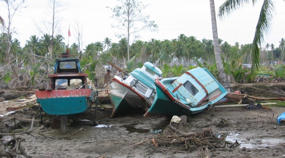
Earthquake and Tsunami in Indonesia
On 28 September 2018, two earthquakes with magnitudes 7.5 and 6.5 occurred at a depth of 10 km on the island of Sulawesi in Indonesia. The epicentre was located on the Minahassa peninsula near the cities of Palu and Donggala and triggered a tsunami. According to initial estimates, several hundred people lost their lives and thousands were injured. There was considerable damage to property in the surrounding towns and villages.
Satellite data and the resulting situation information have already been made available as part of the International Charter "Space and Major Disasters". DLR supports crisis management by providing satellite-based information on the disaster situation. Data from the German satellite missions RapidEye and TerraSAR-X are delivered.
The European "Copernicus Emergency Management Service - Mapping" has also been activated and provides up-to-date satellite-based situation information.
Under Links side you find the current mapping products.

