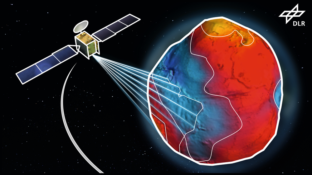
The Institute for Satellite Geodesy and Inertial Sensing

Credit:
Earth observation is one of the most important tools for understanding climate change, assessing countermeasures, identifying future developments at an early stage, and providing necessary, local, targeted support. The Institute of Satellite Geodesy and Inertial Sensor Technology of the German Aerospace Center (DLR e.V.) is primarily dedicated to research and development of new ways to observe the Earth's gravitational field. The DLR - SI therefore sets itself the following goals:
- Acquisition and processing of high-precision data for the observation of climate change.
- Development of new sensor technology for the improvement of gravity field data.
- Establish laser ranging systems for use in gravity field missions.
- Creation of global reference systems for space and time based on (ultra-) cold atoms.
- Simulation of the environmental influence on the quality of Earth observation measurements.
Another focus of the institute is the development of quantum optical systems for inertial sensing. These are deployed in Earth observation missions, but, primarily, for navigation in GNSS denied areas:
- Development of new quantum optical navigation systems for navigation without GNSS
- Investigation and adaptation of sensor technology for use on satellites and in exploration
Kontakt
Prof. Dr. Meike List
Director
German Aerospace Center (DLR)
Institute for Satellite Geodesy and Inertial Sensing
Relativistic Modelling
Am Fallturm 9, 28359 Bremen
Germany
Dr. rer. nat. Lisa Wörner
Director
German Aerospace Center (DLR)
Institute for Satellite Geodesy and Inertial Sensing
Callinstrasse 30b, 30167 Hannover
Germany
Jana Hoffmann
Director Administration and Infrastructure
German Aerospace Center (DLR)
Institute for Satellite Geodesy and Inertial Sensing
Callinstrasse 30b, 30167 Hannover
Germany
