From space to the ship's bridge – satellite data and ice forecast models for navigation in the ice
Checking the location of the Polarstern is my first task each morning – even before the children are awake. Next, I review the latest satellite images received overnight and assess how the sea ice situation has evolved.
I am an electrical engineer specialising in digital signal processing. Over recent years, the study of drifting sea ice has become one of my specialisms. Like many researchers, I am deeply concerned about the effects of climate change. Contributing to the understanding of long-term changes in the ice is a cause I feel passionate about.
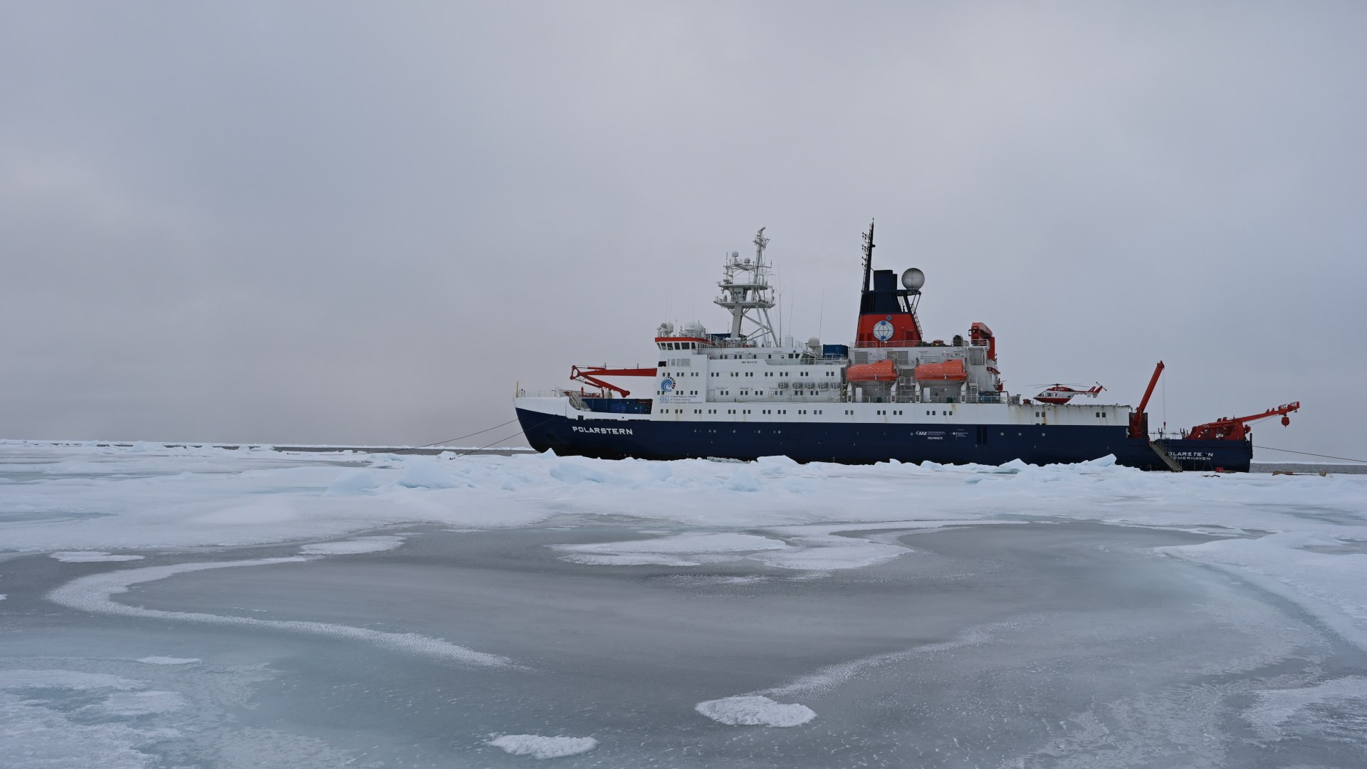
The Alfred Wegener Institute for Polar and Marine Research (AWI) is currently conducting an expedition in the central Arctic with the research icebreaker Polarstern. At various stations, researchers are collecting physical, (bio)geochemical and biological data to investigate large-scale changes in the atmosphere, sea ice and ocean.
Despite the unprecedented loss of Arctic sea ice, the region around the North Pole remains difficult to access, because the sea ice is constantly shifting. In just a few hours, winds and ocean currents can compress vast masses of ice together. If the pressure continues, ice floes can pile up on top of and underneath each other, forming pack ice metres thick, that even icebreakers cannot traverse. Conversely, opposing forces can break up the sea ice and create open channels. The ship's radar is indispensable for finding safe routes through the ice but has a limited range of just a few kilometres. Earth observation satellites, on the other hand, provide a far broader view of the polar sea ice. These satellites capture images of the Earth from altitudes of several hundred kilometres, including remote regions that are difficult for humans to access.
The German radar satellite TerraSAR-X, operated by the German Aerospace Center (Deutsches Zentrum für Luft- und Raumfahrt; DLR), flies over the Arctic several times a day. During each pass, it captures images of sea ice using its active radar antenna which works in all weather conditions, through clouds and even in total darkness. The radar data collected can be used to derive various sea ice properties, providing insights into its navigability. TerraSAR-X can operate in different imaging modes, enabling the capture of images with varying spatial coverage, resolution and polarisation. We decide where and how the satellite captures its images.

This forms an integral part of my work and that of my colleagues at the DLR Earth Observation Center. We are responsible for using the satellite's pre-calculated orbit to determine the best imaging windows for the next leg of the Polarstern's journey and submitting image requests. It's often a race against time – recording windows must be entered into the system before the satellite loses contact with the ground station. There are moments when the pressure has me breaking into a sweat, but it is all the more rewarding when I hear back from the ship’s bridge about how invaluable the satellite images have been for navigation.
From space to the ship's bridge
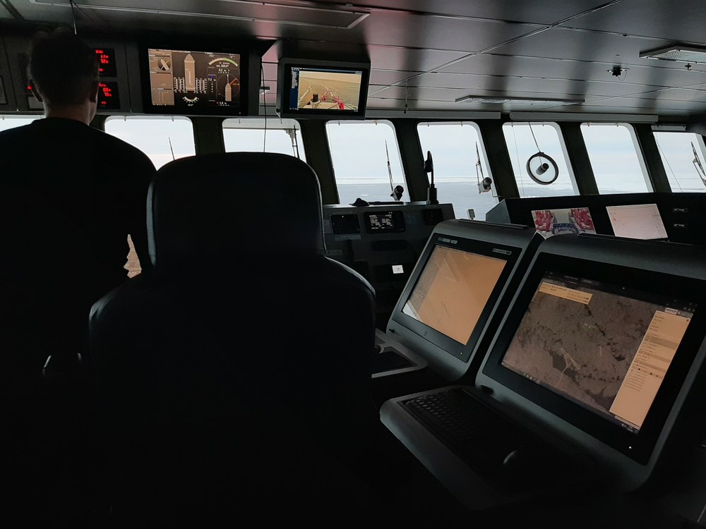
Colleagues at the Maritime Safety and Security Lab at DLR's German Remote Sensing Data Center (DFD) in Neustrelitz, have established an operational process chain. This ensures that requested satellite images are delivered to the Polarstern's bridge in the shortest possible time. On board, these images assist the navigators in finding safe routes through the ice and help researchers identify ice floes suitable for specific measurements.

Jonathan Bahlmann, Drift+Noise Polar Services GmbH
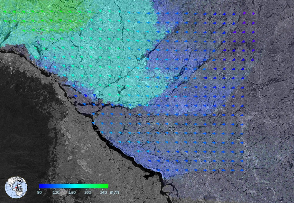
My workplace is the research centre for maritime safety in Bremen. Here, algorithms are developed to extract more detailed parameters from radar data – parameters that are not directly visible to the human eye, such as ice drift or estimates of ice age. Ice age, in particular, is a critical factor for navigation, as newly formed ice is much easier to traverse than multi-year ice that has endured several summers. Developing these algorithms relies heavily on the on-site observations and measurements collected by scientists aboard the Polarstern.

Also involved in the expedition is the Bremen-based company Drift+Noise Polar Services GmbH, with whom we have previously collaborated on several exciting research projects. Drift+Noise has developed the IcySea app, which presents information about prevailing sea ice conditions in a user-friendly format. During the current expedition, Drift+Noise is paving the way for a new test that could mark a significant step forward in advancing these technologies.
New paths – automatic route calculation through drifting sea ice
During the current Polarstern research expedition, we plan to send automatic route suggestions directly to the ship. While this is commonplace for cars, it is far more complex for ships navigating through ice. Unlike roads, sea ice is constantly in motion and its conditions change unpredictably, meaning 'fairways' move with the ice. After years of development, we are now ready to demonstrate that automatic route determination in ice is possible.

In several interlinked research projects (MAP-BORealis, EisKlass31, EisKlass2 and FAST-CAST 2), my colleagues have developed new algorithms that not only map current sea ice conditions but also project them into the future using high-resolution prediction models. This means estimating the future development of sea ice. Based on these predictions, our project partners at the Center for Industrial Mathematics at the University of Bremen calculate an optimal route through the ice. This route is then delivered to the navigators on the Polarstern’s bridge via the IcySea app, where it is assessed for feasibility. This approach to dynamic ice navigation has never been attempted in this way before.
If these experiments are successful, the developed route optimisation technology could significantly reduce travel times in the future. Further research could even focus on refining these routes to prioritise reduced emissions.
Related links
- Lecture by Anja Frost about ‘How a radar satellite works’ (German only)
- DLR mission page – TerraSAR-X
- AWI – Follow the Polarstern
- Ice information app IcySea
Tags:

