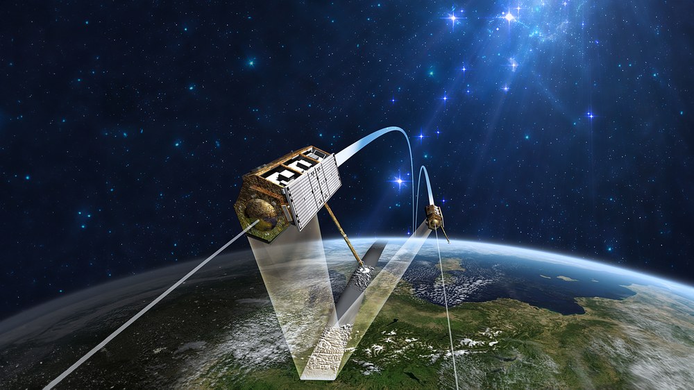
TanDEM-X - TerraSAR-X add-on for Digital Elevation Measurement
The TanDEM-X project is being implemented by a Public-Private Partnership (PPP) between the German Aerospace Center (DLR) and Astrium GmbH.
The primary goal of the TanDEM-X (TerraSAR-X add-on for Digital Elevation Measurement) mission is to generate a global digital elevation model. To achieve this, two satellites – TanDEM-X and TerraSAR-X, a satellite of almost identical construction which has been in orbit since 2007 – will form the first configurable SAR (Synthetic Aperture Radar) interferometer in space with a separation of only a few hundred metres. A powerful ground segment which is closely interfaced with that of TerraSAR-X completes the TanDEM-X system. The satellites will fly in formation and operate in parallel for three years to cover the entire surface of the Earth.
DLR is responsible for the scientific exploitation of the TanDEM-X data as well as for planning and implementing the mission, controlling the two satellites and generating the digital elevation model. Astrium built the satellite and shares in the cost of its development and exploitation. As with TerraSAR-X, the responsibility for marketing the TanDEM-X data commercially lies in the hands of Infoterra GmbH, a subsidiary of Astrium.
Launch Date | June 21, 2010 |
|---|
Orbit Altitude | 510 km |
Orbit Inclination | 97° |
Mass
| 1320 kg |
Dimensions | 5 x 2,4 m |
Launch Site | Baikonour, Kazakhstan |
Launcher | Dnepr-1 |
Mission Duration | 5 years planned / still operational |
Control Center | DLR / GSOC |
Ground Stations | Weilheim, Neustrelitz, Inuvik, O’Higgins, Spitzbergen |

