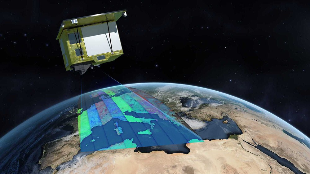
EnMAP - Environmental Mapping Program
EnMAP is the first German hyperspectral satellite mission. The main goal is to study a wide range of the Earth's land surface ecosystem. The satellite was launched in April 2022 and the mission is planned to run for a minimum of five years. The satellite will provide valuable, high-quality scientific data with 232 spectral bands from 420 nm to 2450 nm and a ground resolution of 30 x 30 m².
Primary mission goal is the measuring and analyzing a wide range of numerous ecosystem parameters which describe vital processes on the earth’s surface relating to agriculture, forestry, soil and geological environments, as well as coastal zones and inland waters. EnMAP data will serve to measure and model key dynamic ecosystem processes and will make a significant contribution to comprehension of the complex system "Earth".
GSOC operates the satellite during LEOP, commissioning phase and routine operations.
Launch Date | 1 April 2022 |
|---|
Orbit Altitude | 653 km |
Orbit Inclination | 97.96 ° |
Mass | 980 kg |
Dimensions | 3,1 m × 2,0 m × 1,7 m |
Launch Site | Cape Canaveral |
Launcher | Falcon-9 (Space-X) |
Mission Duration | > 5 years |
Control Center | DLR / GSOC |
Ground Stations | Weilheim, Neustrelitz, O'Higgings, Spitzbergen, Inuvik |

