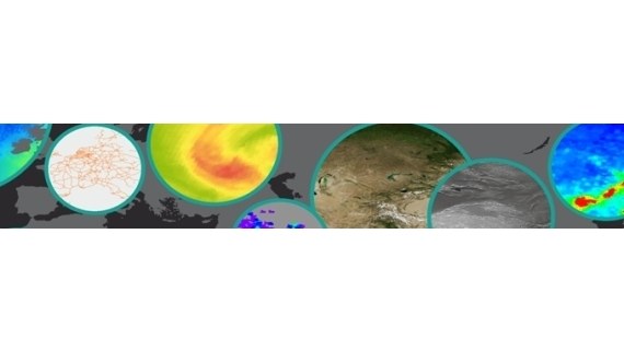
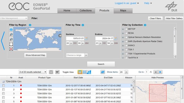
Remote sensing is more than just recording the earth’s surface in high resolution. In fact, the final objective is to extract relevant geoinformation from satellite data for specific applications. The activities of the EOC are dedicated to acquisition, archiving and harnessing data from different missions for scientists and users. Our data guide will assist you in the process of identifying and retrieving suitable data for your envisaged application.