Sozialwerk DLR e.V. presents
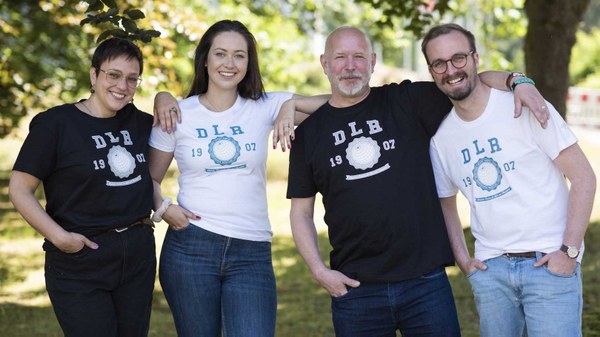
Space Shop
DLR´s online shop offers a huge range of textiles, books and many other attractive products on a wide variety of DLR topics. With the proceeds, Sozialwerk DLR e.V. supports people who are in need through no fault of their own. The website is only available in German for the time being.